So I kept going on a link and found the Cincinnati Transit website, which details a transportation history for the entire region including some really cool pictures and graphics:

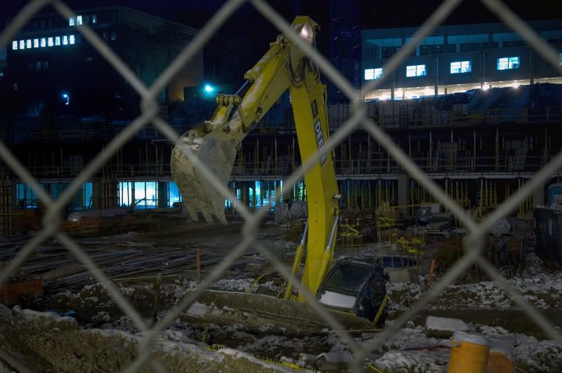
Oops! Construction found the Deer Creek Tunnel on Eden Park Drive! It was the first time anyone had written news about it in 35 years.


A picture of the abandoned CL&N RR line over modern day I-71 and what one of the tunnels on that line looks like.


pre I-75.

The Liberty Street Viaduct (1912-1929) -- called by the website owner a "dubious affair."

The old Ludlow Viaduct -- torn down in 1991 and replaced with that horrendous thing we walk over for gay pride every year.

One of the famous inclines in Cincy.


I did not know this was still in operation... the Anderson Ferry (20 bucks there's a queen somewhere that calls herself the Anderson Fairy)


1 comment:
Cool blog! I like all the pics you posted. Thanks!
Post a Comment